|
|
SPONSORS
accent on
 tasmania
|
follow updates on
| |
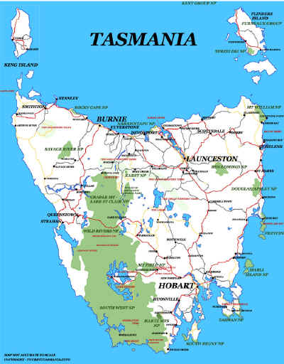
WIELANGTA FOREST DRIVE
Tasman Peninsula
|
When driving between Port Arthur and the East Coast, the
main highway heads back towards Hobart through Sorell - near Hobart. There
is an alternative route between Orford and Coping along the Wielangta Forest
Drive.
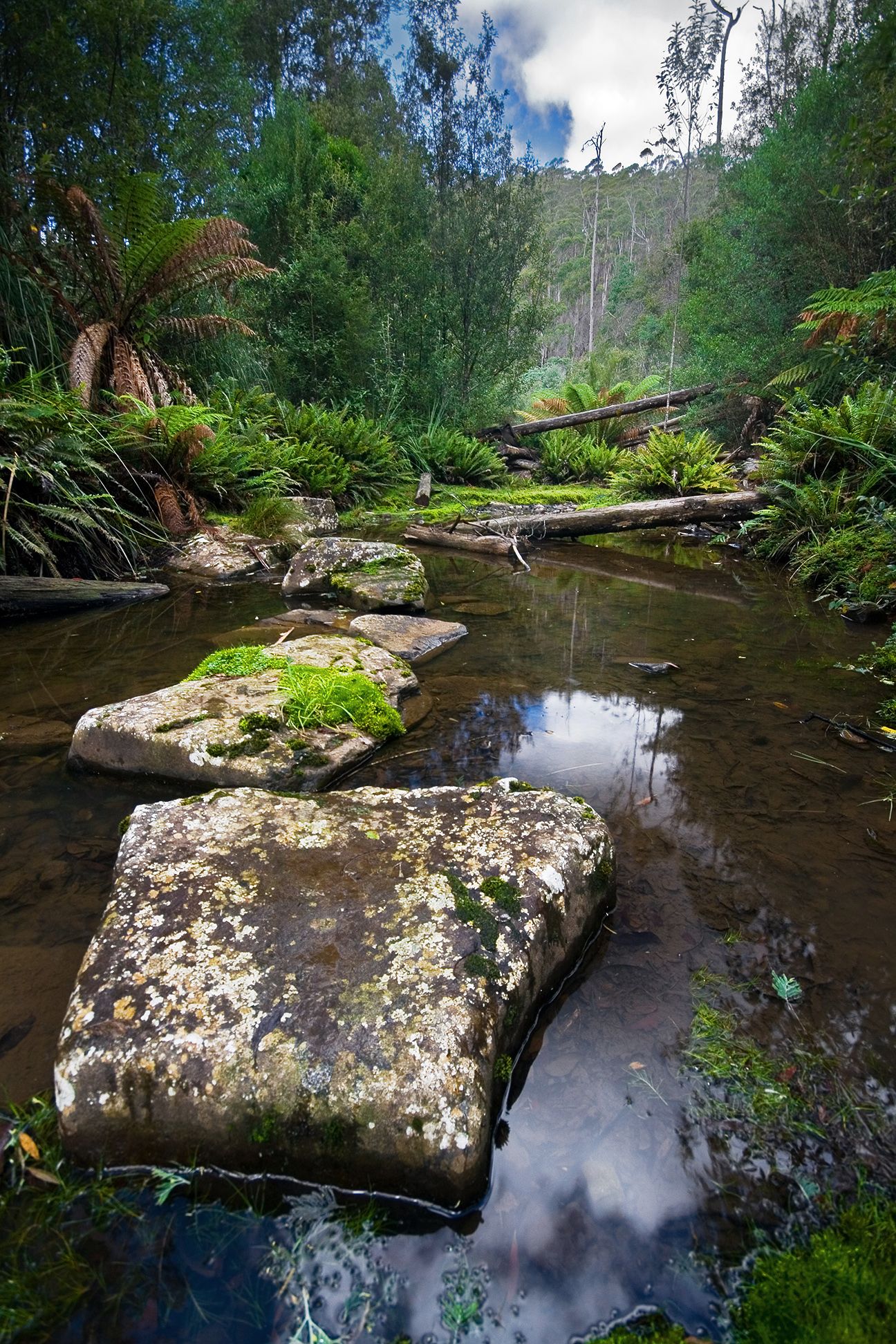
The road heading south from Orford passes by the Wielangta
forest walk. The walk follows the road following Sandspit River. The track
emerges again at a picnic area about 5 kilometres further along the road. An
hour and a half walk one way. The walk is well signposted. The day we visited
the track was in very good condition. We only walked along the track for 45
minutes. Lots of water pools along the way. Would be inviting in summer.
Near the picnic area there was a short forest walk. A flood
washed away part of the track and has not been repaired.
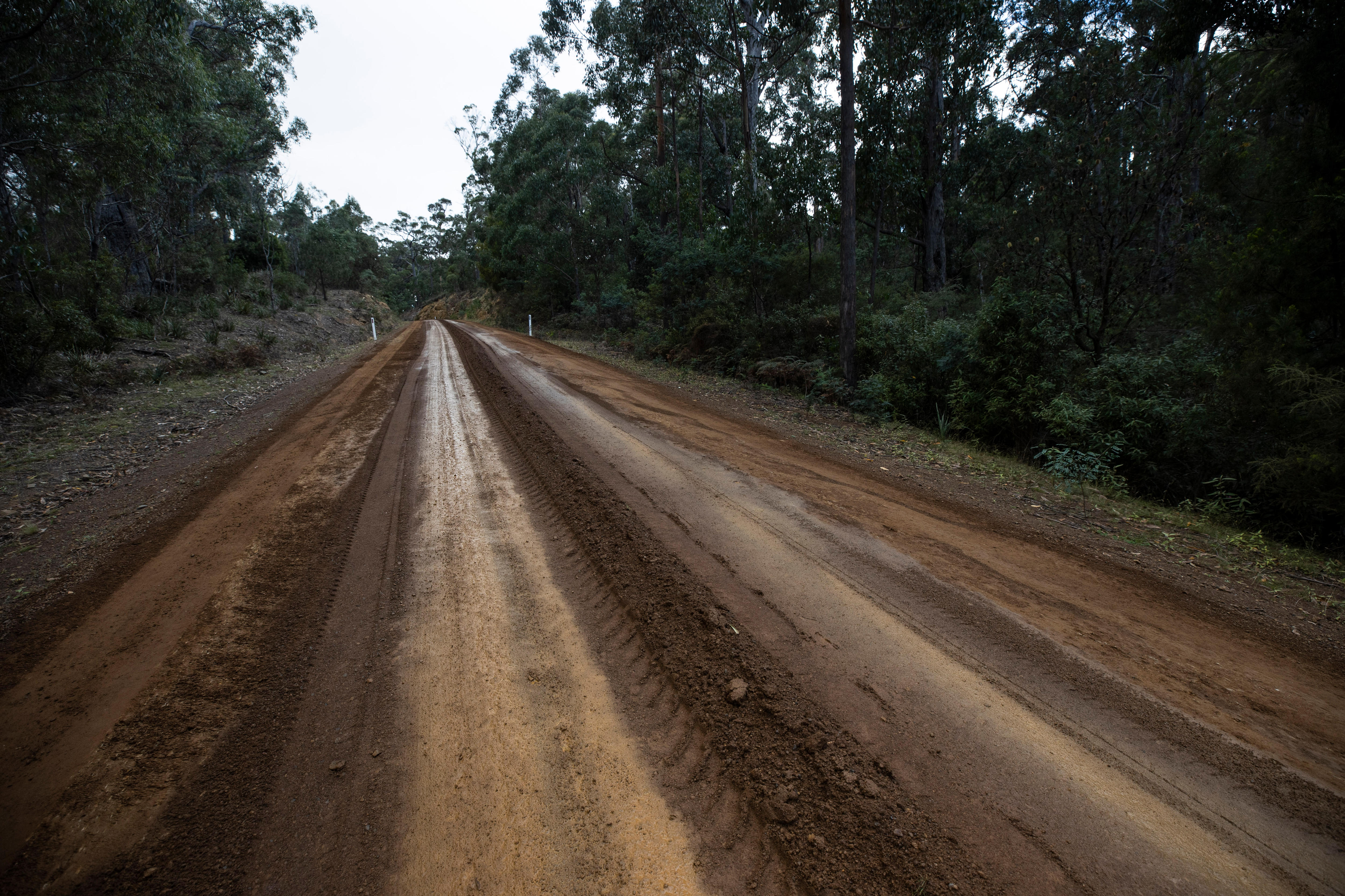
The main issue with the road is the state of the road. The
road is in very good between Orford and the picnic area. This part of the road
is maintained by the Glamorgan-Spring Bay council. The road south beyond the
picnic ground is in very poor condition in many places. In places driving at
walking pace is required. Considerable care is required on this section of the
road. This part of the road is the responsibility of the Tasman Municipality.
updated December 2018

Ten minutes along the track from the northern end.
Below is the view from The Thumbs looking out towards Maria
Island. Access to the area is a few kilometers from Orford along the Wielangta
Forest Road.
|
|