|
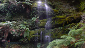
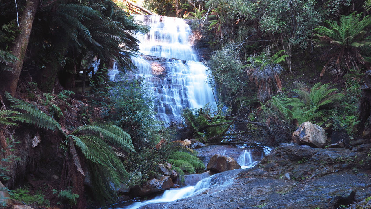
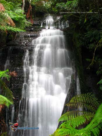
NOTE: The Westmoreland
Falls track was washed away after 30cm of rain fell on the slopes of The
Great Western Tiers in a few hours on 14th January 2011. The rain did
considerable damage to the falls. The falls are now twice as wide as
shown in the image to the right. The whole area in front of the falls
has been cleared away allowing a good panorama of the falls and the
cascade to the right of the falls.
THE TRACK HAS NOW BEEN REOPENED
28.2.2013
http://www.abc.net.au/rural/tas/content/2011/01/s3120414.htm
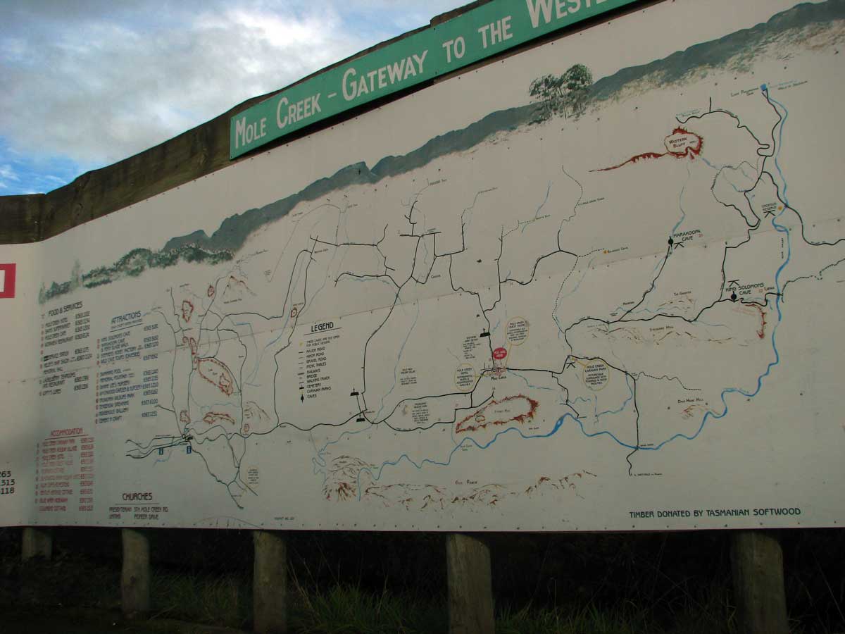
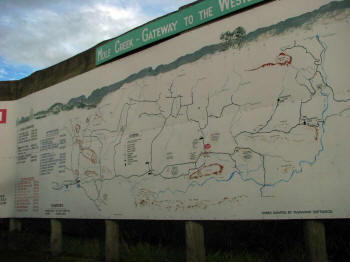
Our search for West
Moreland Falls started at Mole Creek where you can
find a huge map depicting the attractions of the Great Western Tiers.
The sign is permanent and most helpful as it clearly indicates any
destination you may choose plus times and grades of walks. See image
below!
The start of the track can
be found towards the end of Wet Cave Road. Follow Caveside Road
from near the information centre at Mole Creek for a few kilometres to a
T junction. Wet Cave Road heads off to the right and is unsealed.
The Wet Cave reserve is soon reached straight ahead. Take the left
turn at the Wet Caves reserve entrance and continue past the last farm
on the right avoiding the right
turn to the farm. A small car park
is on the right another few hundred metres further on up a slight rise. The
track is now well signposted. The track follows the back fence of the
farm for the half kilometre or so then turns left along a new track high
above the creek
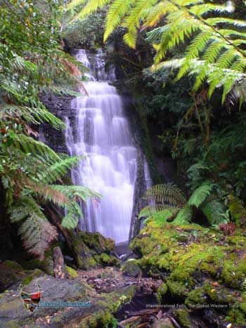
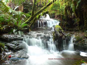
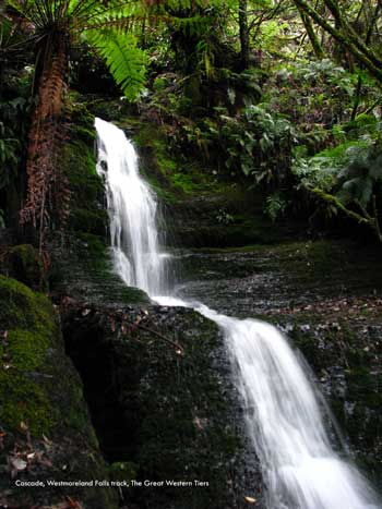
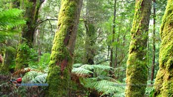
The area might better be
named "The Westmoreland Cascades". There are several smaller
cascades in and around the falls. A superb grotto of small
streams, falls and pristine forest.
45 minutes each way on a
very well marked track. The track is very well constructed and quite easy.
Guide to The Great Western
Tiers at Mole Creek
more at
http://www.molecreek.info/ |