|
|
SPONSORS
accent on
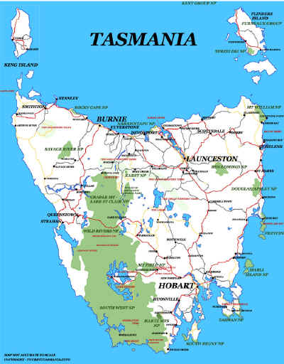
 tasmania
|
follow updates on
| |
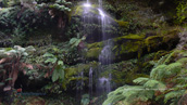
Tunnel Bay
The
Tasman Peninsula
 |
Tunnel Bay is just one of the
numerous walks on the Tasman Peninsula. Nine kilometres past Port Arthur heading
towards Nubeena is a left turn on Stormlea Road. Follow the "Cape Raoul Walking Track" signs. About 9 kilometres along the road the
road narrows to a single track. There is parking at this point. The
walking track starts about 200 metres further up the road at a gate. There are
steps across the fence. After about half an hour walking, the track
divides. Cape Raoul track heads left and Tunnel Bay and Shipstern
Bluff track heads right. It is about an hour to an hour and a half
to the bay with a steep descent from high on top of the cliffs to be
negotiated. Tough on the way back.
|
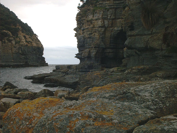
Tunnel Bay
|
|
| |
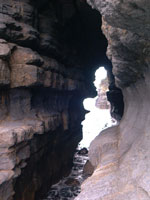
The cave or tunnel
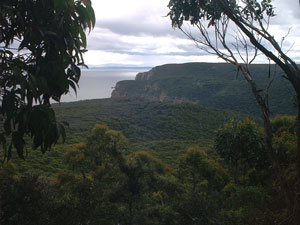
The descent towards Tunnel
Bay
|
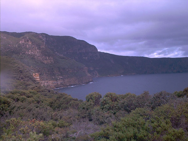
The coastal view
from Shipstern Bluff |
|
.
|