|
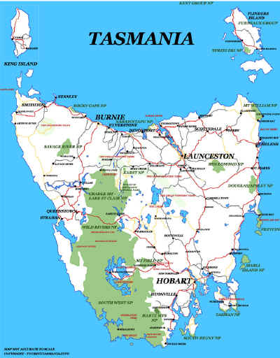
TASMANIA MAP GUIDE |
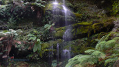
a pictorial guide to Tasmania's natural attractions |
|
|
|
 |


|
|
follow updates on
|
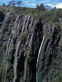
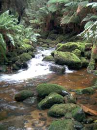
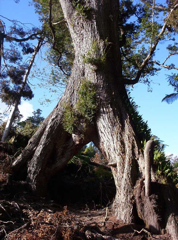
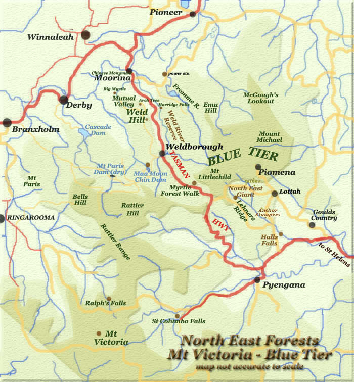
North East Tasmania - The Bay of Fires THE NORTH EASTERN FORESTS
The main highway from Launceston to St Helen's passes through the rich agricultural area around Scottsdale and near Ringarooma. From Moorina the road passes through the Weldborough Pass. The road passes through pristine areas - some of which have been protected in reserves. Many areas around The Blur Tier, Weldborough and Gould's Country have particular interest. The whole area is virtually a mining museum and abounds with what the conservationists call "High Conservation Forest Areas". These area, although previously logged, are rich in a wide variety of timbers and fauna. Unfortunately, much of these forests have been destroyed by clearfelling and being replaced by single species plantations. Some very small pockets have been preserved. Other areas such as The Blue Tier (proper) and Mt Victoria are above the tree line.
The great aspect of the area is the main highway passes right through it providing relatively easy access to most of it! It's the "Cradle Mountain" of the North East.
click for detailed maps
|