|
|
SPONSORS
accent on
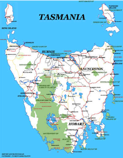
 tasmania
|
follow updates on
| |
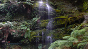
UPPER LIFFEY
FALLS TRACK
The Great Western Tiers
 |
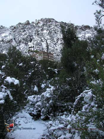
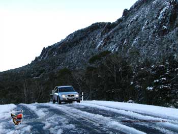
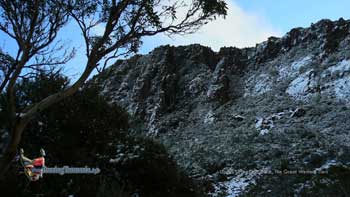
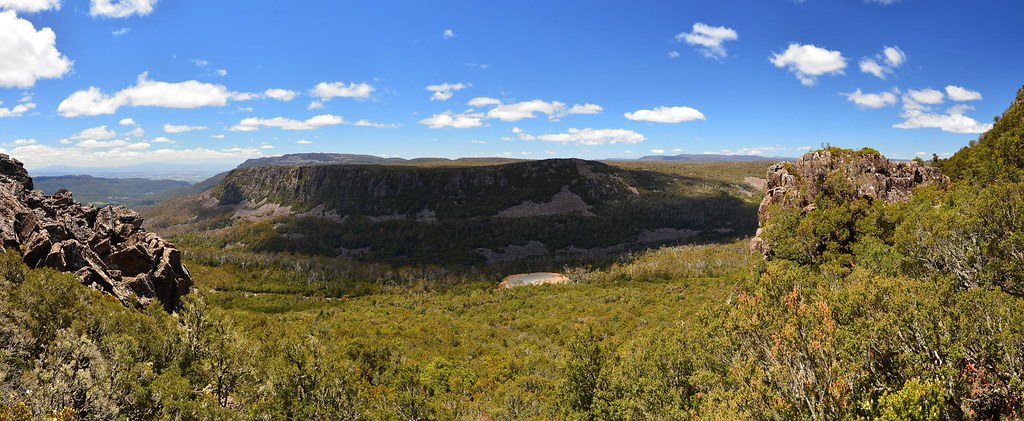
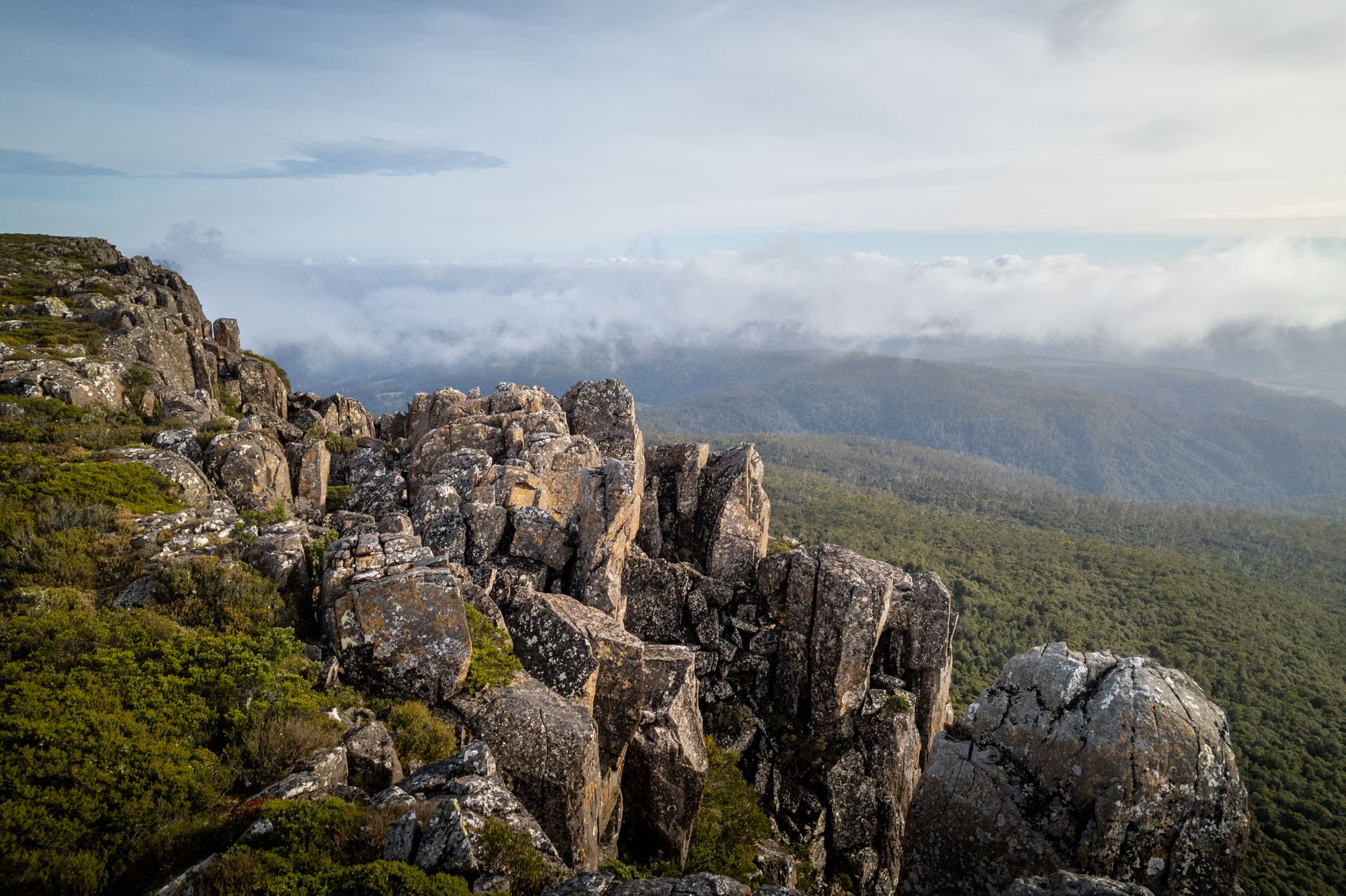
The Upper Liffey Falls
track connects the Lake Highway just below Projection Bluff. The
lookout shown in the picture on the right is just by the road. The track
in the picture continues on to the summit of Projection Bluff which is
shown above the lookout. The pictures were taken after a recent
snowfall. The lookout is usually just below the snowline.
The upper falls are a further two kilometres along the Lake Highway
towards The Great Lake. The
lower falls are a two hour walk from this point and are also accessible
by 2 wheel drive.
. |
 |
|
| |
 |
 |
|
| |
 |
|
| |
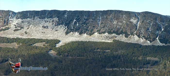
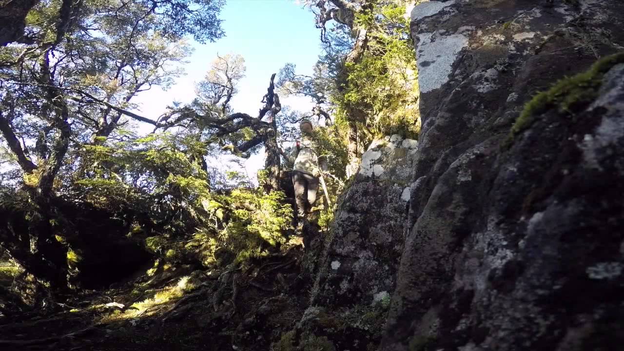
The track to the top of
Projection Bluff commences 200 metres past the lookout described above
on the opposite side or the road. There is a small tarn or pond just
next to the road. We did not climb the bluff the day we visited
due to the weather. The trail was up through boulders and proved fairly
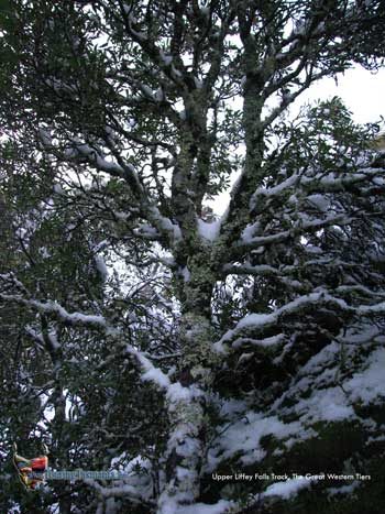
difficult. A beautiful myrtle forest to explore beside the road.
|
|
|