|
TASMANIA MAP GUIDE |
a pictorial guide to Tasmania's natural attractions |
|
|
|
 |

|
|
follow updates on
|
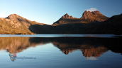
Scott's Peak Gallery LAKE PEDDER
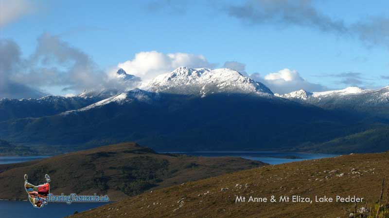
The peaks of Mt Anne (left) and Mt Eliza under heavy snow taken from just above the Edgar Dam. There is another beautiful walk to the top of Mt Anne. Three days return. One day return will get you to the Mt Eliza Plateau.
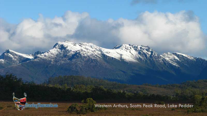
The Scott's Peak road ends at the top of Red Knoll just past the Scott's Peak dam. Commanding view of the whole area. The above picture is looking south east towards the Western Arthurs. The Port Davey track commences here. One of the great wilderness walks of Australia. One track heads left down the Huon river to Tahune where the Picton meets the Huon. The Port Davey track continues on to the South Coast track which continues on to Cockle Creek near Cattamaran. Between these walks is the Federation Peak track - Australia's most challenging walk.
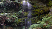
'Creepy Crawly' rainforest walk. A short 15 minute walk. The walk commences a couple of kilometres along the Scott's peak road. |