|
TASMANIA MAP GUIDE |
a pictorial guide to Tasmania's natural attractions |
|
|
|
 |


|
|
follow updates on
|
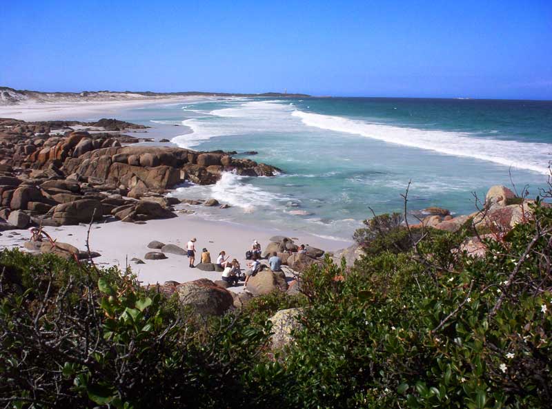
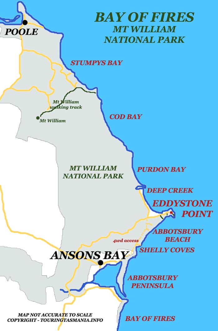
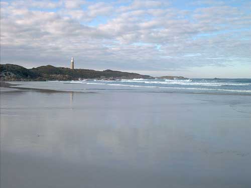
North East Tasmania - Bay of Fires EDDYSTONE POINT Near the southern end of the Mt William National Park is Eddystone Point. The lighthouse dominates the skyline on Tasmania's most easterly point. Abbotsbury Beach is just to the south of the lighthouse and it alone is worth the visit to the area. Again, the pictures tell the story.
Abbotsbury Beach. About an hour and a half walk from the lighthouse - which can be seen in the distance. The track in to the beach is opposite the Deep Creek turn off near the end of the road to the lighthouse. The track is easy to miss. There is a good but basic camping ground at Deep Creek.
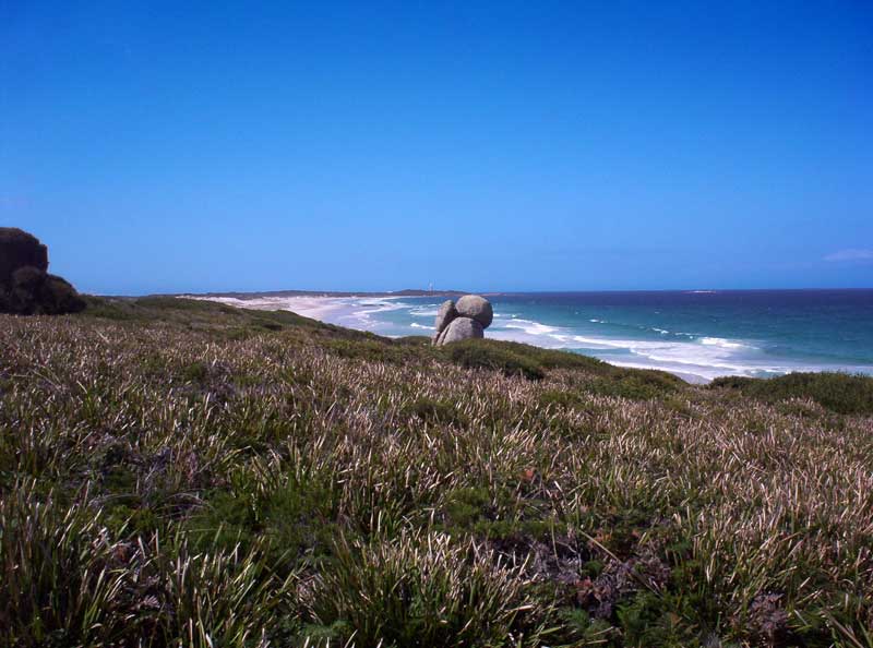
View from just above Shelley coves
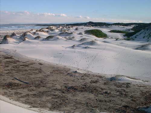
click for larger version LEFT: Pure white sand dunes. A feature of most east coast beaches. The above picture and background picture depict animal prints in the sand. Another feature of east coast beaches. You will usually only share them with the animals.
RIGHT: Eddystone Point from Abbotsbury Beach.
|