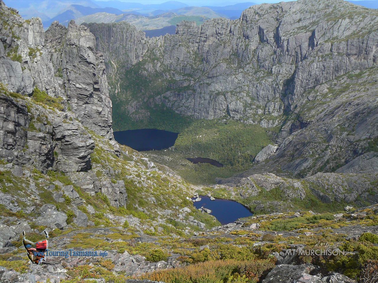
Chasm just by the summit.
Tullah is above just out of the picture.
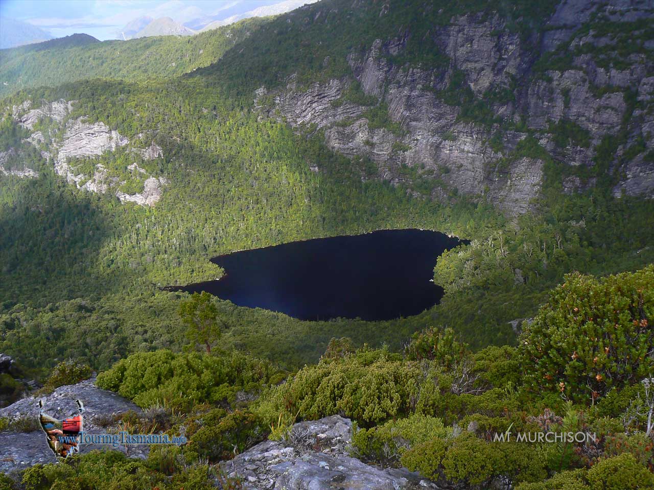
Mt Murchison is hollow
providing a spectacular sight. Looking into the 'crater' from the
summit. Shadowed Lake is at the bottom. The other lakes are
un-named.
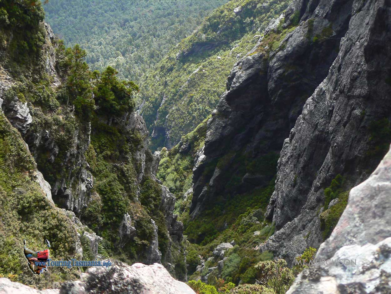
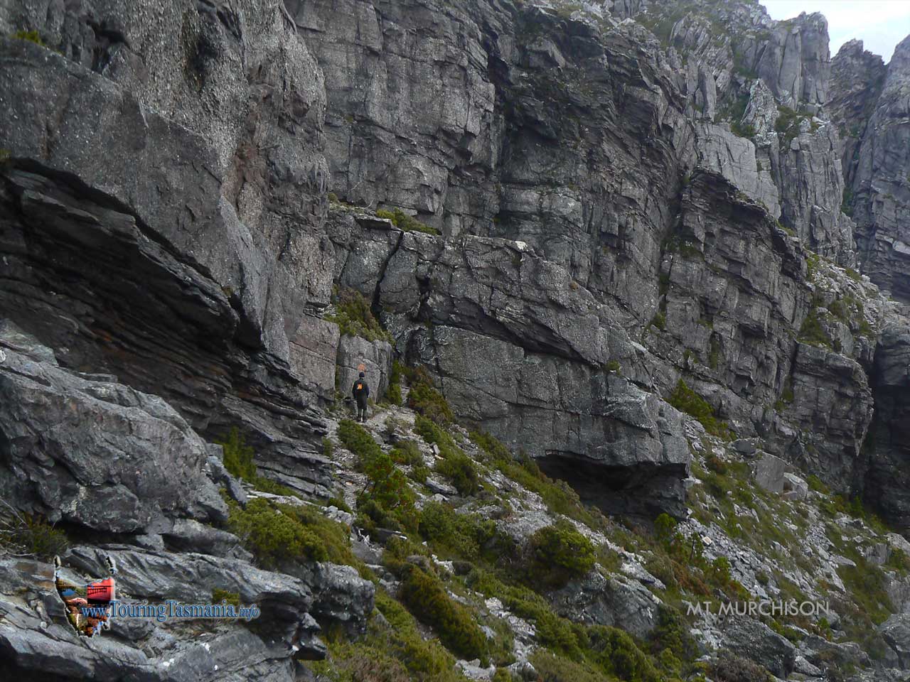
The
second difficult section - not the climb but the necessity to not look
down from the ledge above the hanging lake. Considerable care needs to
be taken.
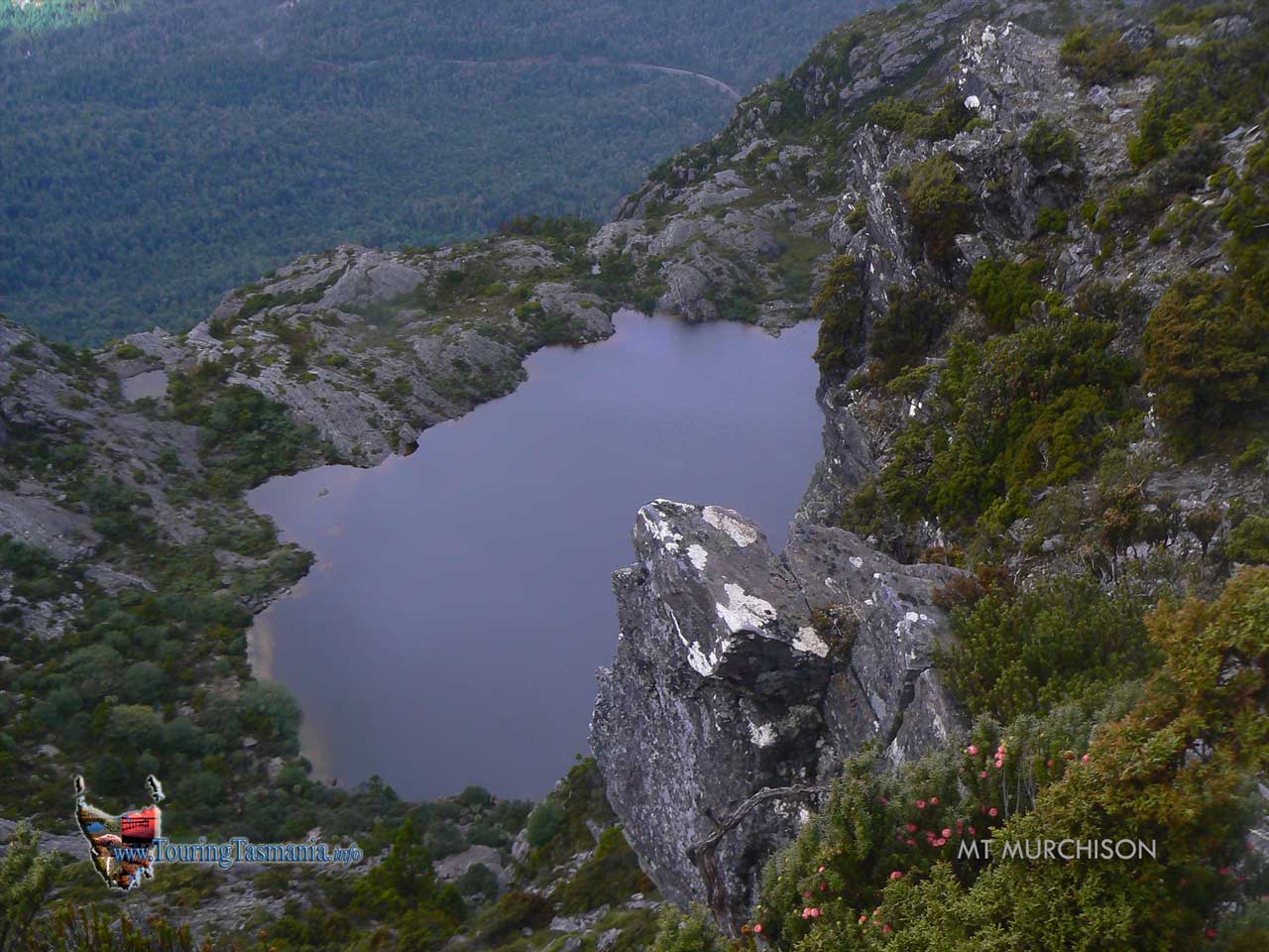
Heading down from the summit the track looks to be heading towards a
rock wall. The track turns left and back uphill sharply through a gap to
emerge near the ledge overlooking the tarn pictured on the left.
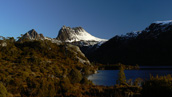
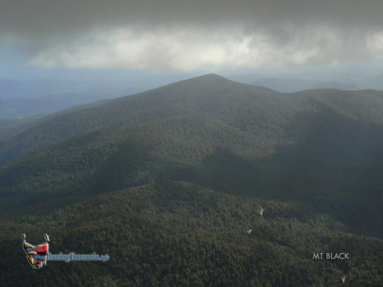
Mt Black between Rosebery
and Tullah. Rosebery is just to the left of the picture. The
conservation issue here is that the maps show only a 10 kilometre or so
stretch and what looks to be 100 metres each side of the highway is
reserved. If a pulp mill is built are we to assume that this area
will ultimately be clearfelled?
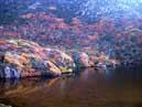
The first lake reached.
Almost an hour from the start of the walk.