|
|
SPONSORS
accent on
 tasmania
|
follow updates on
| |
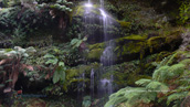
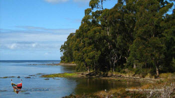
Cockle Creek
The Far South
|
 |
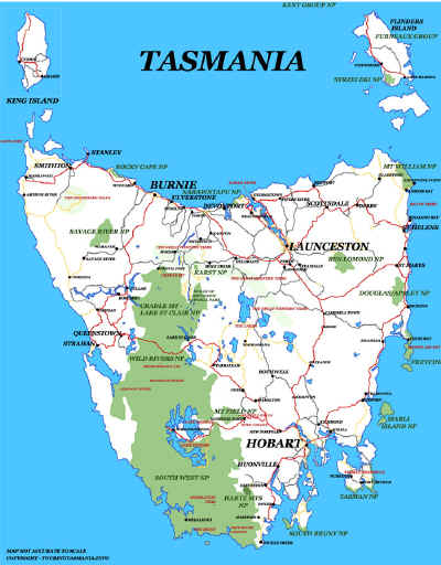
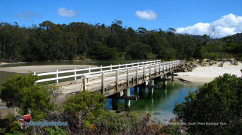
Australia's most southern bridge at Cockle Creek. The
South Coast Track to Melaleuca commences to the left of the picture. A
4 or 5 day walk one way. The road continues on across the bridge in the opposite
direction for another kilometre. There is a walk to Fishers Point. About
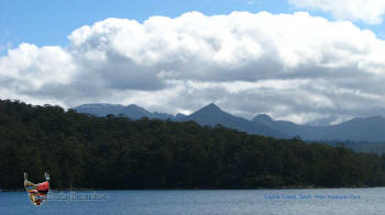
an hour each way. The walk provides superb views back to Mt La Peruse and
Adamson's Peak in the South West National Park. Recherche Bay is to the
north and South Bruny Island and Tasman Peninsula in the distance to the East.
|
|
|
|
|
|
|
|
|
|
 |
 |
|
|
|
Mt La Perouse from the
Fishers Point walk |
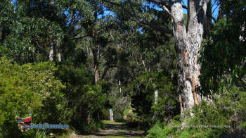
Start of the South Coast
Track |
|
|
|
 |
 |
|
|
|
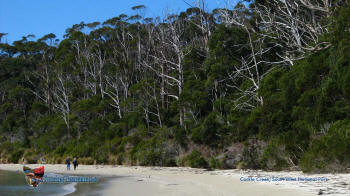
Fishers Point walk |
Recherche Bay at
Catamaran near Cockle Creek |
|
|